Mt. Rainier hike with kids, Paradise

Users who are viewing this thread

Terry

The Plumbing Wizard
Staff member
Messages
29,942
Reaction score
3,468
Points
113
Location
Bothell, Washington
Website
terrylove.com
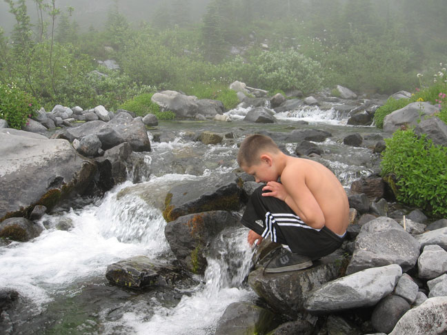
mason_rainier_1.jpg

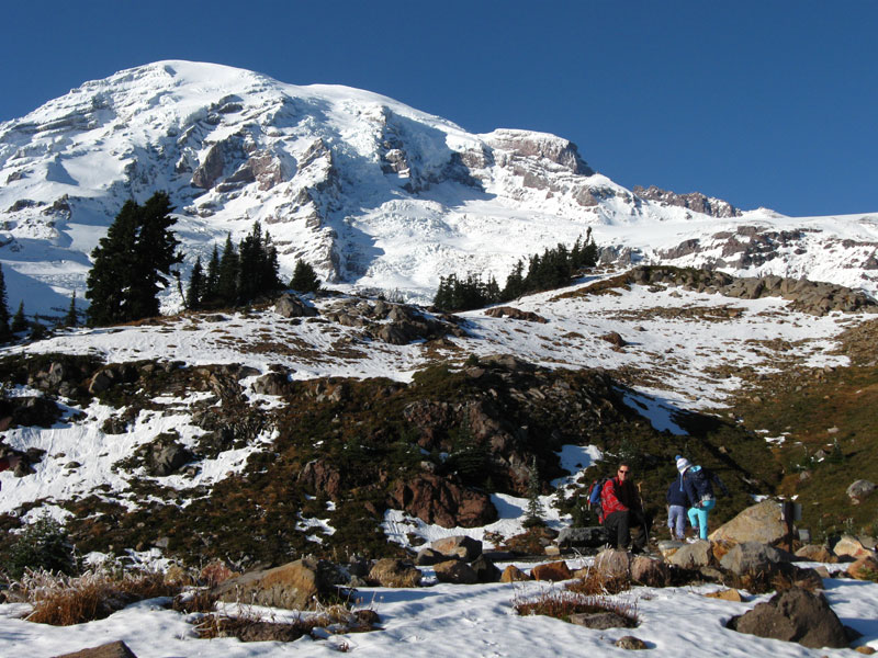
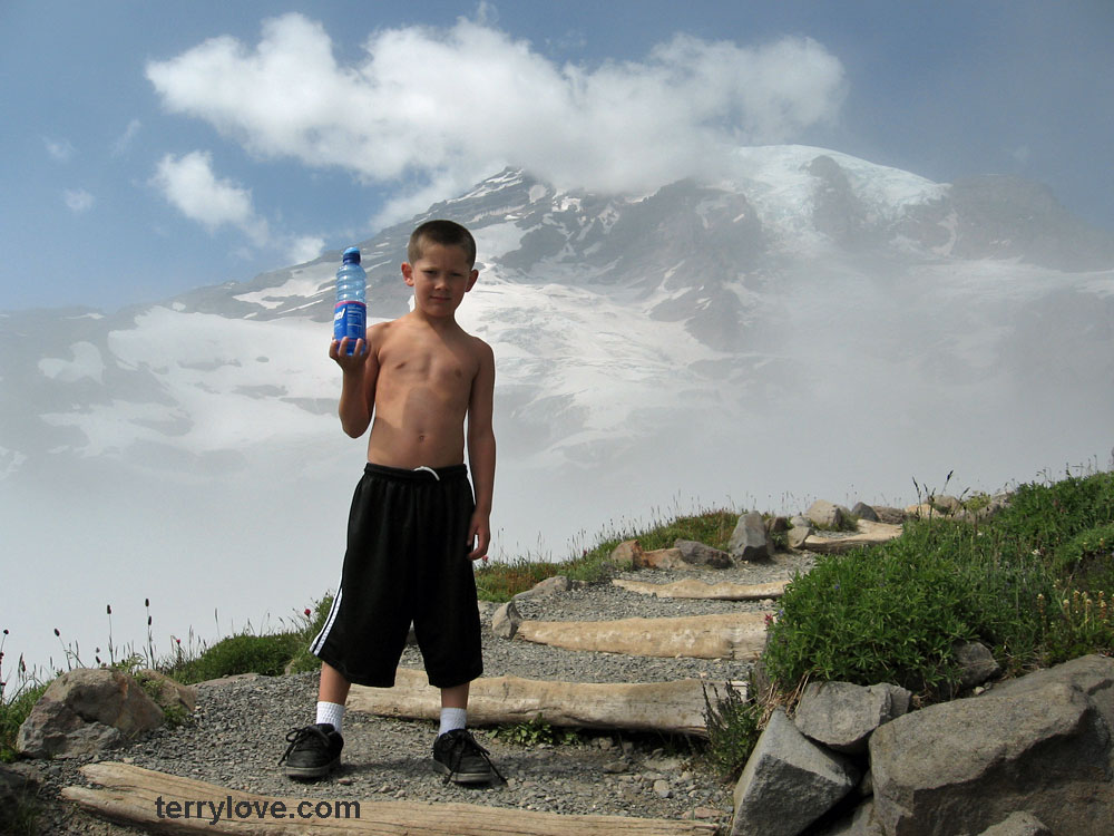
My grandson Mason hiking with me at Mt. Rainier on Monday

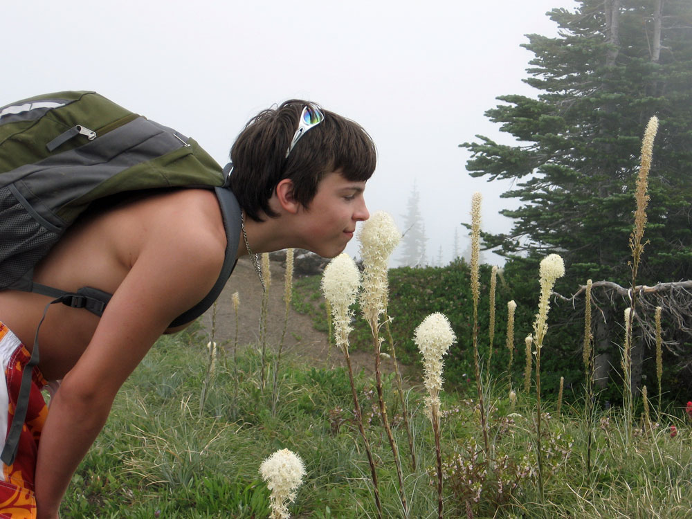
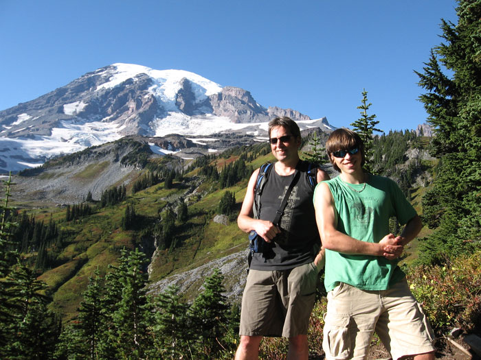
taylor_rainier_1.jpg

My son Taylor smelling the flowers along the trail


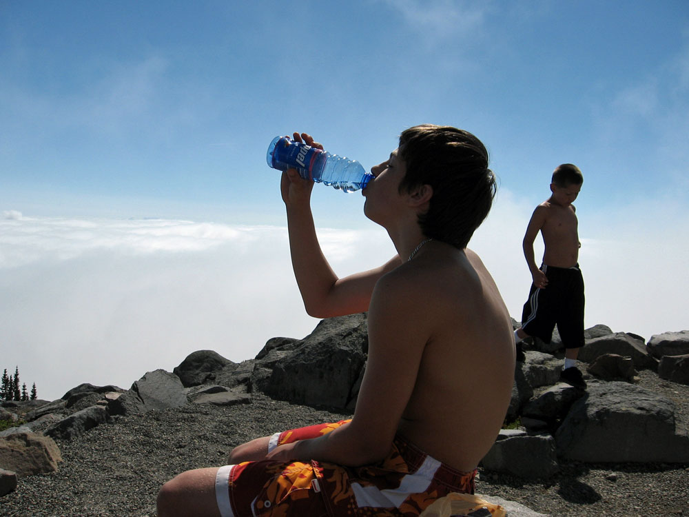
Taking a litlle break at the overlook.

taylor_rainier_2.jpg


paradise-2017-01.jpg


https://www.nps.gov/mora/planyourvisit/upload/Paradise-Area-Trails-Aug11.pdf

rainier-2018-terrylove-02.jpg
 
Last edited:

Cass

Plumber
Messages
5,947
Reaction score
9
Points
0
Location
Ohio
Looks like you all had a good time............realy nice views.
 

Verdeboy

In the Trades
Messages
2,041
Reaction score
6
Points
0
Does that trail go all the way up to the top?

If so, I bet you need to put a shirt on at some point. :)
 

D.Smith

New Member
Messages
63
Reaction score
0
Points
0
Location
Georgia
How old were the kids/gc? My son is now almost 5 and wondering if he is ready.
 

Terry

The Plumbing Wizard
Staff member
Messages
29,942
Reaction score
3,468
Points
113
Location
Bothell, Washington
Website
terrylove.com
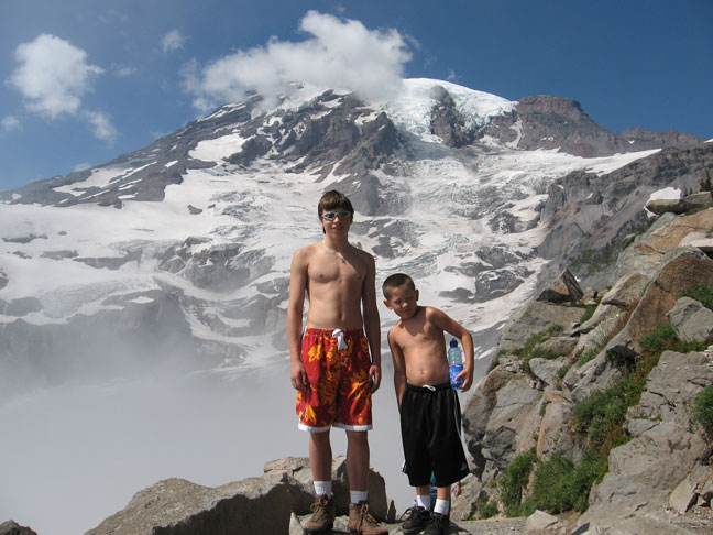
mason_taylor_rainier_2.jpg


The one on the left is 15 and the right 7
Five years old should be fine for this. The nice thing about this hike, is that there is so much to look at, so they don't get bored. We did a five mile loop that got up to 7,000 feet. The top is 14,412 feet

mason_river.jpg


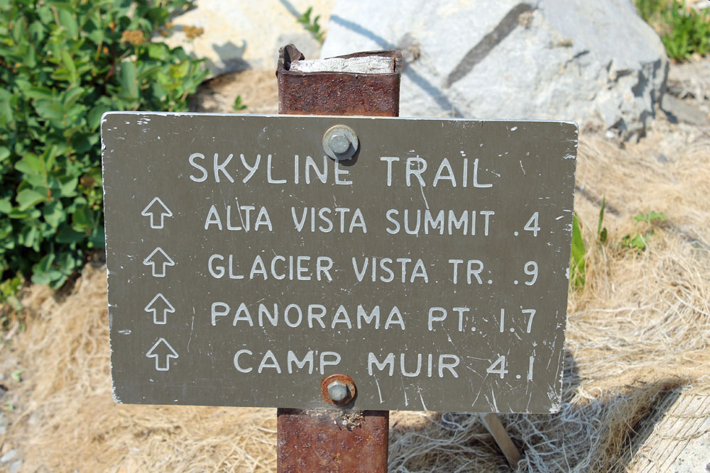
https://www.nps.gov/mora/planyourvisit/skyline-trail.htm
Skyline Trail
  • Distance, round trip: 5.5 miles
  • Elevation gain: 1700 feet
  • Hiking time, round trip: 4.5 hours


If you go higher, you get into a lot of snow and ice.
When I climbed it five years ago, we left the parking lot at 4:30PM and by the time we got to Muir, my fingers and toes were numb with cold. That was a June day, the sun was hot in the beginning, but got very cold when the sun went down. I made the top in August, left earlier in the day, it was much better that way.

My video of the Rainer climb in 2002
 
Last edited:

Cookie

.
Messages
5,580
Reaction score
8
Points
0
Location
Home
Nice view Terry and great pictures of the boys. You son looks so much like you!
 
Last edited by a moderator:

Terry

The Plumbing Wizard
Staff member
Messages
29,942
Reaction score
3,468
Points
113
Location
Bothell, Washington
Website
terrylove.com
rainier_08_terry_taylor.jpg

Septempber 2008 with Taylor, a year later and Taylor has put on a bit more muscle.

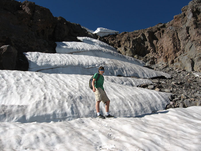
rainier_08_taylor_snow.jpg

Passing by the snowfield. I thought this was pretty interesting how the snow had melted out.

rainier_08_lodge.jpg
rainier_08_bird.jpg
 
Last edited:

Steve_P

New Member
Messages
41
Reaction score
0
Points
0
Location
East TN
great pics! Congrats for getting those kids out of the house and into nature- looks like a great family outing.

I think I've hiked to where you went- panorama point?

I'd like to climb Rainier some day- I've done 40 14ers in CO but very little steep snow experience.
 

Terry

The Plumbing Wizard
Staff member
Messages
29,942
Reaction score
3,468
Points
113
Location
Bothell, Washington
Website
terrylove.com
Sunday May 31st, 2009

May 31st had snow to the parking lot. Lot's of people were having fun playing in the snow. A few climbers were coming down from the Summit that afternoon, and a few going up to climb Rainier.

rainier_2009_1.jpg
rainier_2009.jpg
terry_cathy_rainier_1.jpg
cathy_rainier_2.jpg
 
Last edited:

Terry

The Plumbing Wizard
Staff member
Messages
29,942
Reaction score
3,468
Points
113
Location
Bothell, Washington
Website
terrylove.com
November 1st, 2009, Paradise at Mt Rainier

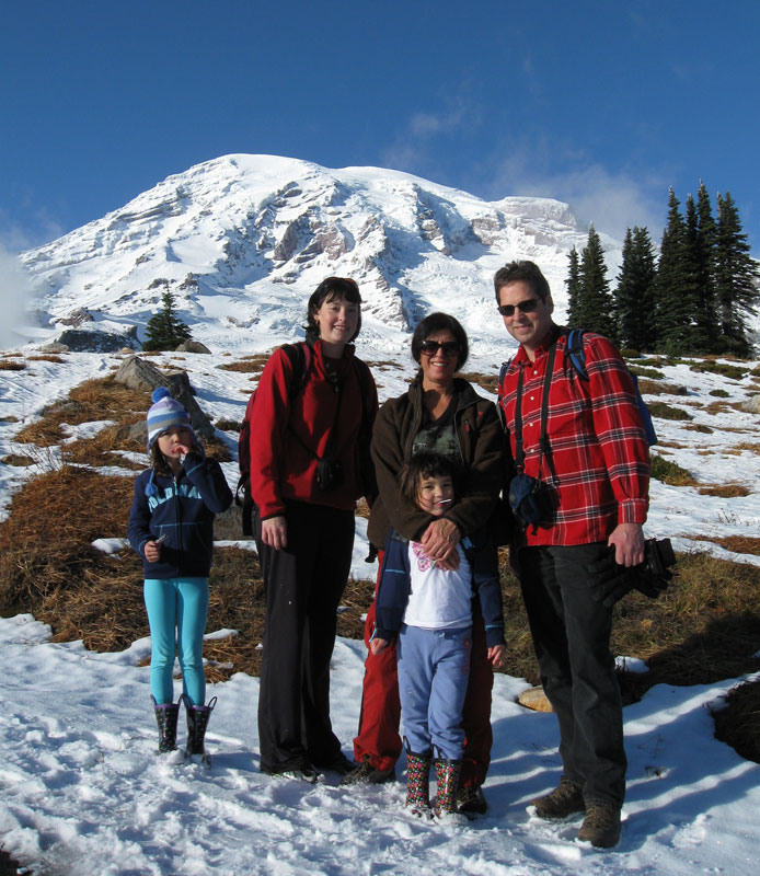
rainier_2009_9.jpg

Kaitlyn, Amy, Cathy, Chloe, and Terry at Paradise, Mt Rainier National Park, November 1st, 2009

rainier_2009_10.jpg

Terry with two of the grandkids.

rainier_2009_8.jpg

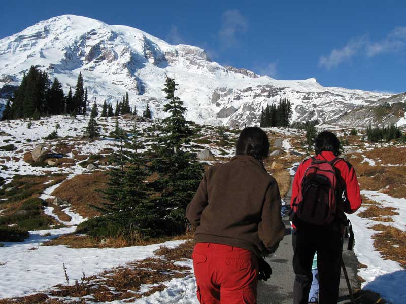
The women hiking ahead towards the viewpoint on the trail.
There were a lot of guys coming down the trail, having skied down from Camp Muir.
Camp Muir is located to the left of the second pyramid looking peak from the right and just in front of the darker gray rock ridge behind.
It's around 10,000 feet.
The top of Rainier is 14,411 feet.
It's a fairly nice run of snow on the right for a few thousand feet of vertical before the snow runs out.

rainier_2009_4.jpg

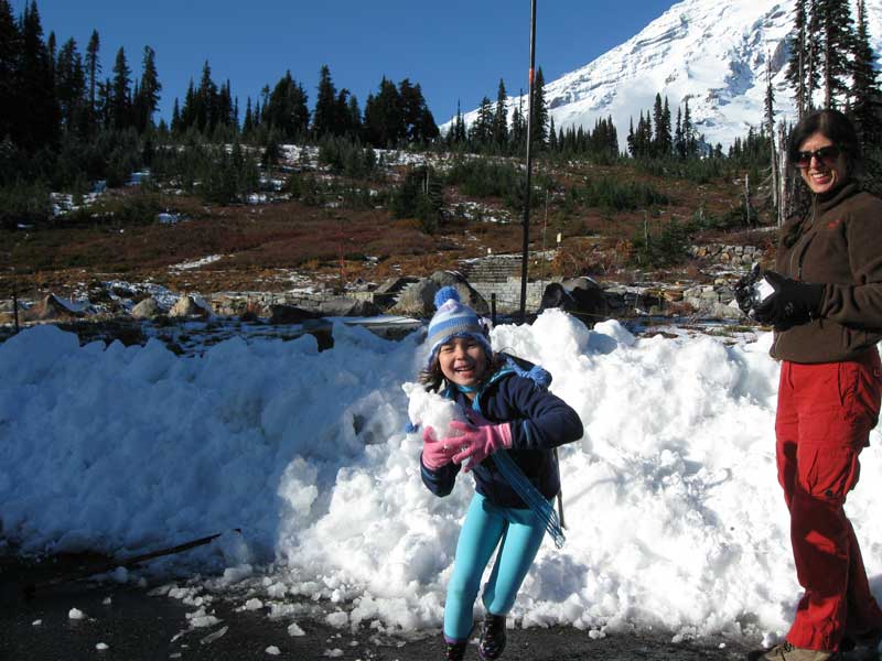
Throwing snow in the parking lot.
I noticed later that the pockets of my ski jacket were filled with snow.
 
Last edited:

Inspektor Ludwig

Journeyman/Inspector
Messages
167
Reaction score
0
Points
0
Location
In the good ol' UPC
Very cool pictures! I've never been to Paradise, I'll have to talk my hubby and the little ones into going! The most amazing part (since I'm new to the forum) is thinking "He's got grandkids? Good lawd, he doesn't look old enough to have grandkids!"
 

Terry

The Plumbing Wizard
Staff member
Messages
29,942
Reaction score
3,468
Points
113
Location
Bothell, Washington
Website
terrylove.com
Climber missing in avalanche on Mount Rainier

http://seattletimes.nwsource.com/html/localnews/2012041683_climbers06m.html

One person is missing and presumed dead after an avalanche came down on climbers on Mount Rainier on Saturday morning.
The slab avalanche occurred at about 4:45 a.m. on Ingraham Glacier on the east face of the mountain, said Patti Wold, spokeswoman for Mount Rainier National Park.
The avalanche, estimated at 100 to 200 yards wide, started at 12,500 feet and sent snow sliding another 1,000 feet down the mountain.
Eleven climbers in all were overtaken by the avalanche, Wold said. Ten made it out safely, including one who was able to walk to Camp Muir.

The video below taken in 2002 takes the Ingraham Glacier route.
It's near the "Cleaver" that most of the avalanches take place, just above Ingraham Flats, where many of the climbers set up a base camp. In the video where you see one of the guys putting his drink into the snow, that's below the Cleaver. In 2002, the year I climbed someone died in that spot from a falling rock the following week.

This is much higher elevation than the hikes I took the kids on.

 
Last edited:

Terry

The Plumbing Wizard
Staff member
Messages
29,942
Reaction score
3,468
Points
113
Location
Bothell, Washington
Website
terrylove.com
paradise-2017-03.jpg


August 28 2017
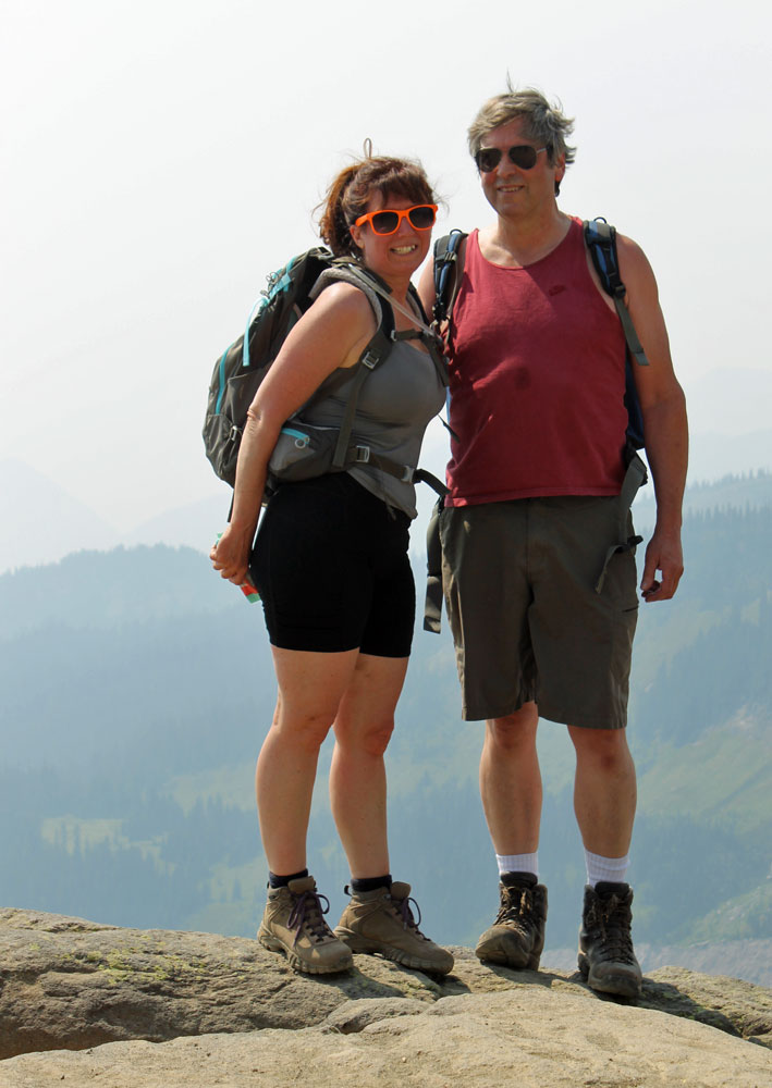
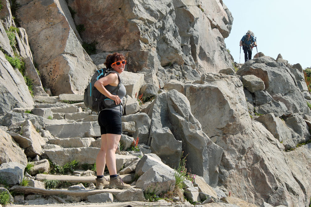
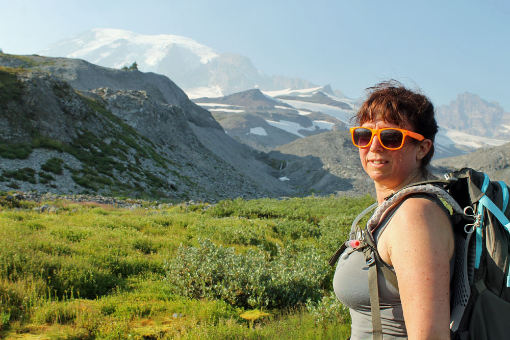
Pam and Terry on the Skyline trail

paradise-2017-04.jpg


Heading upward toward Panarama Point.

paradise-2017-05.jpg


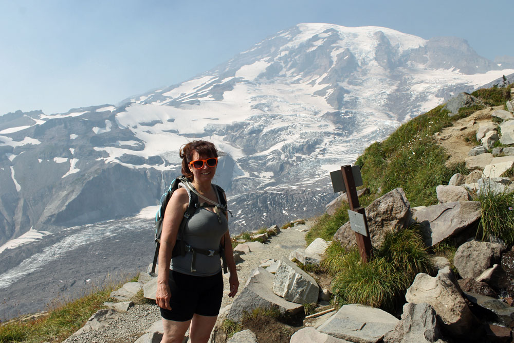
Looking towards the mountain.

paradise-2017-06.jpg


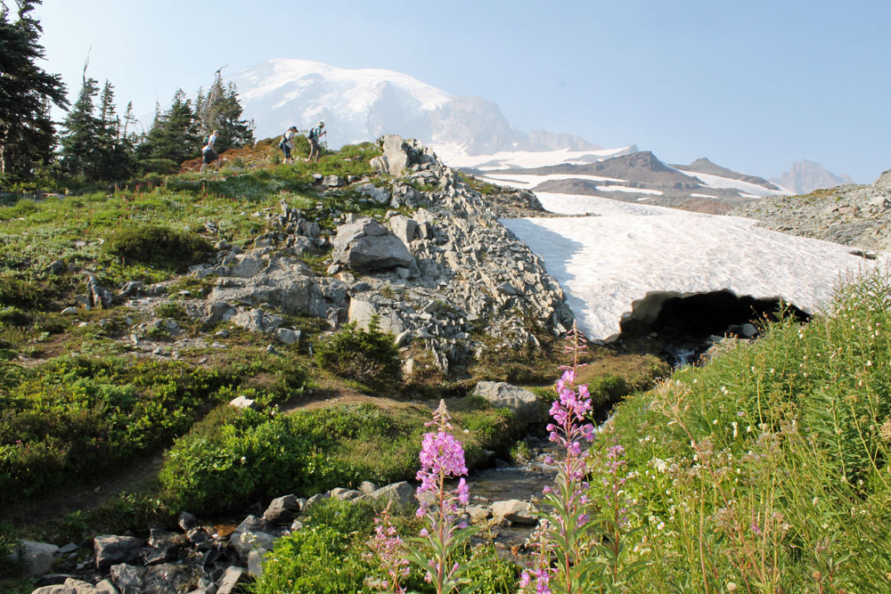
Flowers in Late August amid the snow fields.

paradise-2017-07.jpg


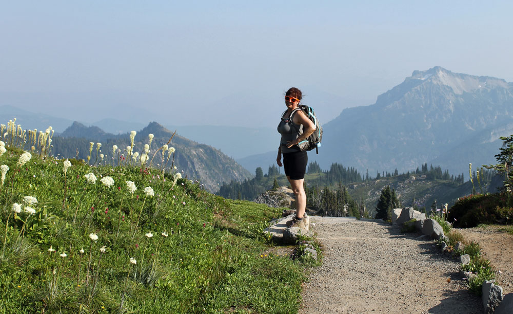
There was smoke in the air from forest fires. Normally you can see much more of the Cascade mountains.

paradise-2017-09.jpg


I try to do this hike every year. One of my favorites.
I plan on a five hour hike covering five miles or so. You can some good elevation, all in the sun. It's hard not to stop along the way and take pictures. I like going clockwise, getting most of the uphill quickly. On the downside, it's more leisurely.

It's a really good idea to bring water and a lunch. It's a long way in the hot sun without water. It takes 2.5 hours to get there from Seattle, so it's an all day endeavor.
 
Last edited:
Top
Hey, wait a minute.

This is awkward, but...

It looks like you're using an ad blocker. We get it, but (1) terrylove.com can't live without ads, and (2) ad blockers can cause issues with videos and comments. If you'd like to support the site, please allow ads.

If any particular ad is your REASON for blocking ads, please let us know. We might be able to do something about it. Thanks.
I've Disabled AdBlock    No Thanks